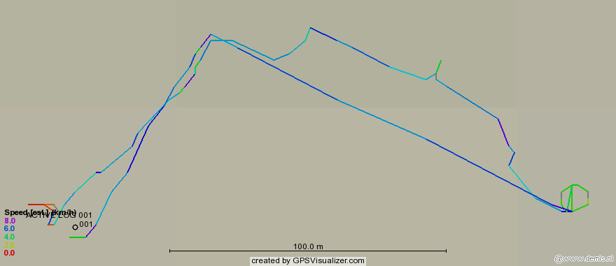
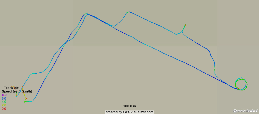
Track log resolution from Garmin eTrex Summit


The Garmin eTrex Summit GPS receiver reportedly has a greater tracklog resolution than most units, and has a 3000-point memory in the active tracklog (stored routes have reduced resolution).  Below are comparisons of two tracks (recorded from the same GPS unit at the same time). The first is from the internal tracklog, and the second is from a laptop recording data from the eTrex serial port.  At the lower right you can see where I walked in two circles around a fountain in a plaza, first at normal walking speed and a second more slowly. The diameter of this circle is 9.5 meters.  The internal tracklog almost completely missed the first circle I made, showing it only as a narrow triangle. The lower plot made from the recorded serial data does show both circles clearly.  So for the best possible resolution, it does seem worthwhile to record the tracklog externally rather than relying on the eTrex's own log.  Although this model is not WAAS-capable, it did well for accuracy on this test. Overlaying this track on a Google Earth map which resolves the fountain I walked around, the tracklog appears 4 meters to the west of the Google data.  Google Earth is itself quite accurate in this area:  I compared the nearby adjusted NGS station AA5496 which is visible in the satellite photo, and the Google image is apparently exact within 0.5 meters (NAD 83 coords).

Note: when the eTrex looses satellite reception it continues to output about 8 more position fixes from the serial port based on the most recent course and velocity. This is sometimes right and sometimes very wrong, if the last fix as the satellites just fades from view is incorrect, as it generally is.


GPX log created from eTrex internal tracklog


GPX log extracted from NMEA output (1 position fix every 2 seconds)


Recorded 2 pm Feb. 22 2006 by John Beale
GPS Receiver: Garmin eTrex Summit (firmware 2.50, not WAAS capable)
Garmin tracklog converted to GPX by Garmin MapSource 6.9.1
GPX files plotted by GPS Visualizer
NMEA log recorded by minicom on Thinkpad 770 running Debian Linux
NMEA-0183 format at 4800 baud: one position every two seconds
...not 1/sec as it also includes fluxgate compass heading & baro altimeter data
NMEA log converted to GPX by GPSBabel

back to measurements page.